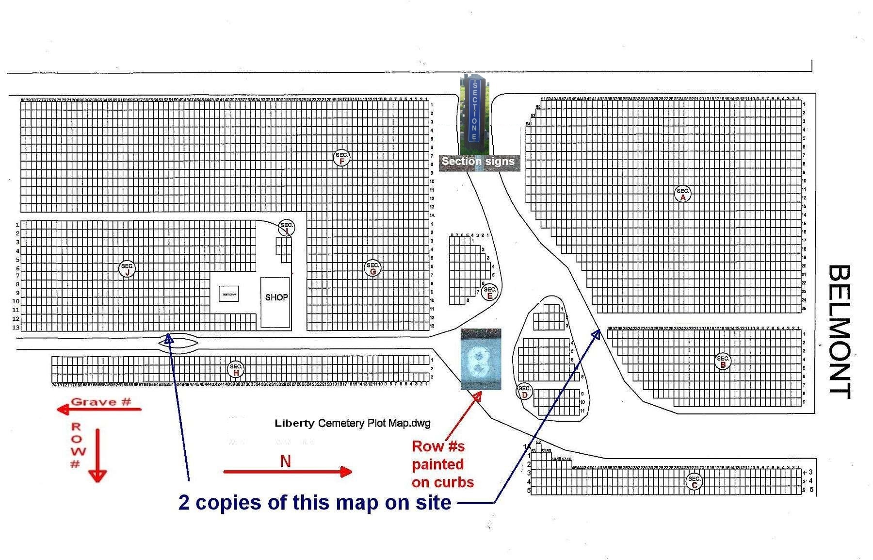
The map being used on this site was provided by the County of Fresno. It is
oriented so that West is at the top of the page and North with Belmont Ave. is on the right. Row
numbers run from top to bottom of the map and grave numbers run from right to left.
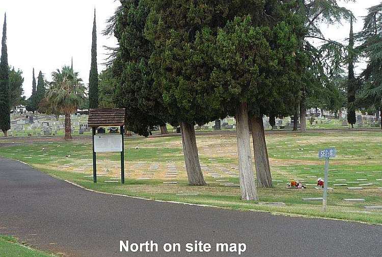
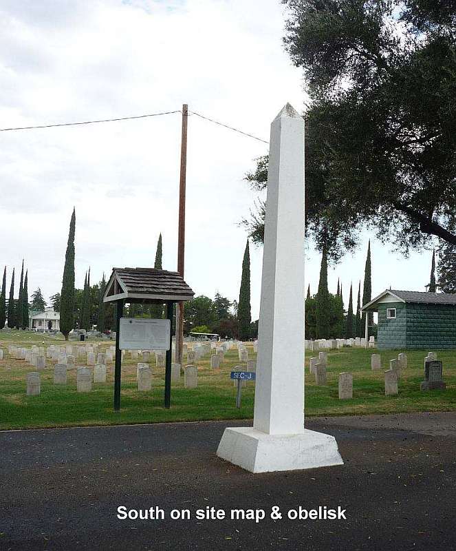
When you are at the cemetery you will find two copies of this map posted on large signs.
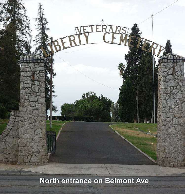
One is on the north end, on the first interior road that branches off of the road
at the main entrance from Belmont Ave. The other is located near the obelisk near the
south end on the road that connects to the roads in Mountain View Cemetery.
Photos
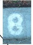
At the north end of the cemetery on the east-west roads, row numbers are painted
on the curbs.
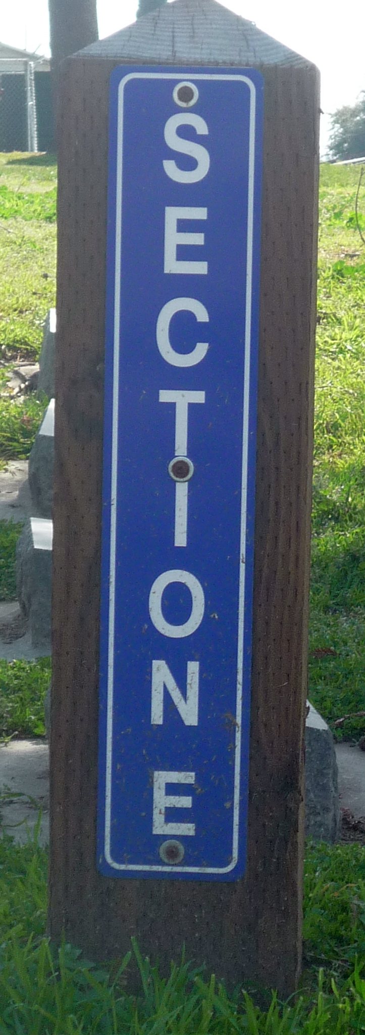
There are signs with white lettering on a blue background (on short posts) to designate
the sections of the cemetery.

 .
.